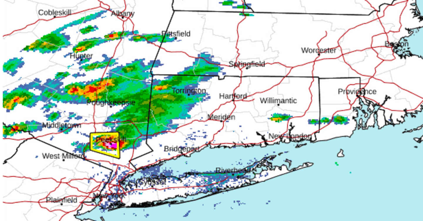
Storm activity is expected to continue into about the middle of the evening.
Scattered showers and storms developed just west of the Hudson River in the middle of the afternoon and are now moving from west to east.
Strong winds of up to around 60 miles per hour are possible, the National Weather Service said.
Hail, frequent lightning, thunder and downpours are accompanying the storms.
In addition, heavy rainfall could produce areas of mainly minor flooding. Isolated tornadoes are also possible.
The outlook for Tuesday, July 4 calls for clouds with some breaks of sunshine in the morning followed by scattered showers and thunderstorms in the afternoon and evening throughout the region.
The high temperature on Independence Day will generally be in the low-80s.
Check back to Daily Voice for updates.
Click here to follow Daily Voice Hartford and receive free news updates.