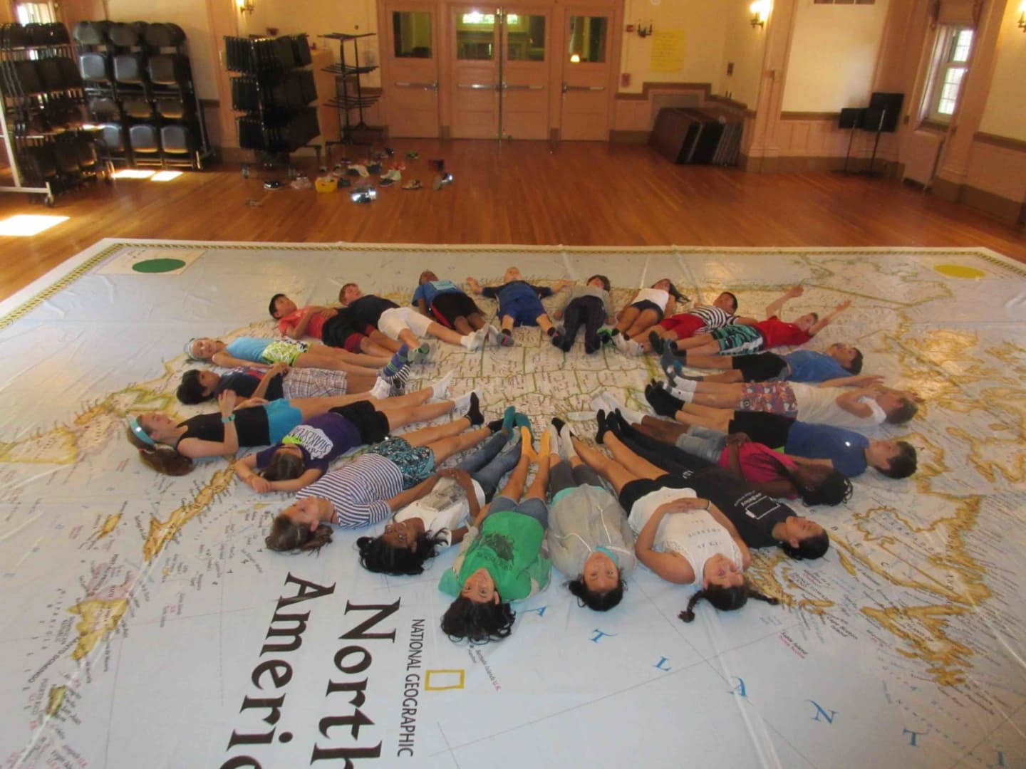
“Instead of sitting at a desk and learning about landforms, longitude and latitude and other map features, the students are actually experiencing the map with their hands and feet,” Principal Joyce Chapnick said. “The students must show persistence in finding different locations on the map.”
National Geographic provided the school with a trunk full of activities, lesson plans, suggestions and supplies, while teachers were provided with a packet of activity overviews.
“The students light up when they see the size of the map and are thrilled with the games they play,” Chapnick said. “Games can be modified for the whole class and small groups, giving the teachers many opportunities to change or modify the games. Thinking flexibly and working interdependently are key to the success of a team. Listening and watching the students cheer each other on is priceless.”
The traveling map is made possible through a grant from the Irvington PTSA.
Click here to follow Daily Voice Rivertowns and receive free news updates.